

-

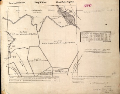
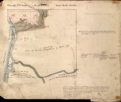
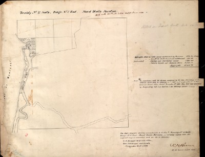
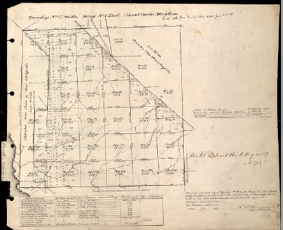
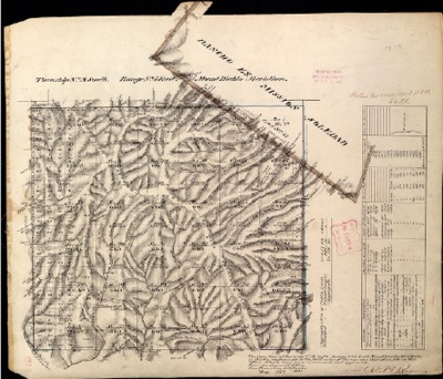
T12S, R1E, BLM Plat_315531_1 - June 16, 1886, Reflecting Slough Cienega, Marsh & Sand Bluffs North of the Mouth of Pajaro River Survey
A June 16, 1886, survey or plat reflecting the Township, Range and Sections of T12S, R1E, located in Monterey County, California, USA
-

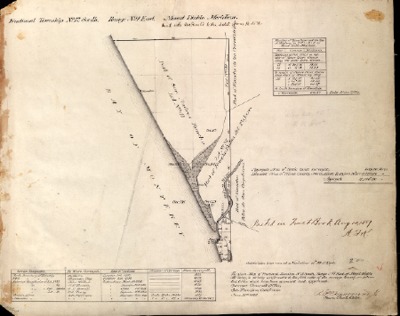
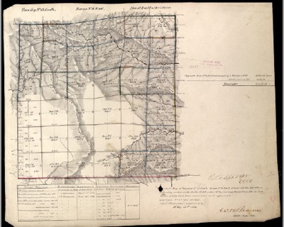
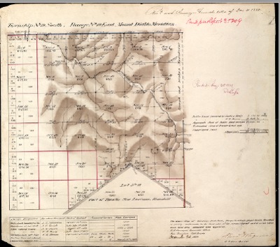
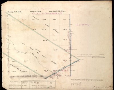
T12S, R2E, BLM Plat_321069_1 - July 19, 1867, Reflecting Elkhorn Slough as Tide Land up to Portion of Sec. 27 to Sec. 25 Shown as Swamp & Overflowed Land Survey
A July 19, 1867, survey or plat reflecting the Township, Range and Sections of T12S, R2E, located in Monterey County, California, USA
-

T12S, R2E, BLM Plat_321073_1 - Aug. 31, 1872, All of Elkhorn Slough now Swamp & Overflowed Lands, 980 Acres Survey
A Aug. 31, 1872, survey or plat reflecting the Township, Range and Sections of T12S, R2E, located in Monterey County, California, USA
-

T12S, R3E, BLM Plat_321213_1 - July 19, 1867 Survey
A July 19, 1867, survey or plat reflecting the Township, Range and Sections of T12S, R3E, located in Monterey County, California, USA
-

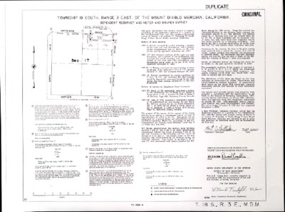
T12S, R3E, BLM Plat_321219_1 - Nov. 10, 1886 Survey
A Nov. 10, 1886, survey or plat reflecting the Township, Range and Sections of T12S, R3E, located in Monterey County, California, USA
-

T12S, R4E, BLM Plat_320707_1 - Apr. 29, 1867, Later Part of San Benito County Survey
A Apr. 29, 1867, survey or plat reflecting the Township, Range and Sections of T12S, R4E, located in Monterey County, California, USA
-
 Survey")
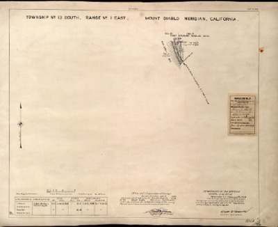
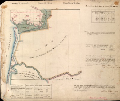
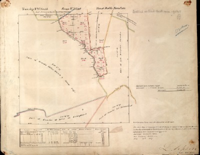
T13S, R1E, BLM Plat_315533_1 - Jan. 7, 1929, Feb. 23, 1929, Showing Pajaro Valley Consolidated R.R. (Narrow Gauge) Survey
A Feb. 23, 1929, survey or plat reflecting the Township, Range and Sections of T13S, R1E, located in Monterey County, California, USA
-

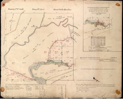
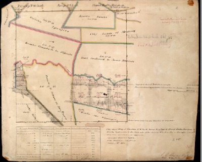
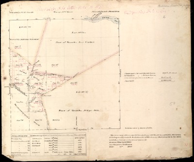
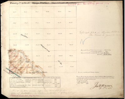
T13S, R2E, BLM Plat_321075_1 - May 14, 1867, Showing Tide Land on Elk Horn Slough Survey
A May 14, 1867, survey or plat reflecting the Township, Range and Sections of T13S, R2E, located in Monterey County, California, USA
-

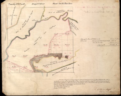
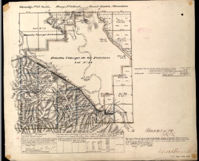
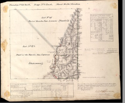
T13S, R2E, BLM Plat_321077_1 - Aug. 28, 1872, Elk Horn Slough now Shown as Swamp & Overflowed Land, 1,583.73 Acres Survey
A Aug. 28, 1872, survey or plat reflecting the Township, Range and Sections of T13S, R2E, located in Monterey County, California, USA
-

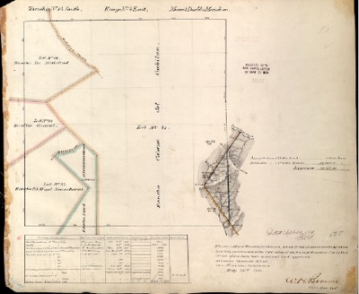
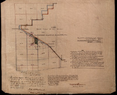
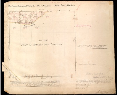
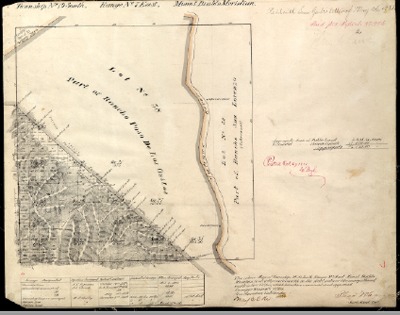
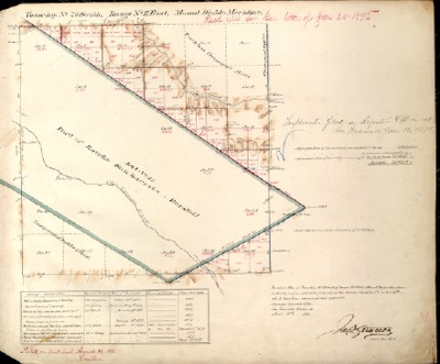
T13S, R2E, BLM Plat_321081_1 - Mar. 30, 1880, Dispute Over Lot 38, Part of Rancho Rincon de las Salinas Survey
A Mar. 30, 1880, survey or plat reflecting the Township, Range and Sections of T13S, R2E, located in Monterey County, California, USA
-

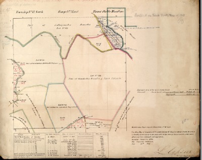
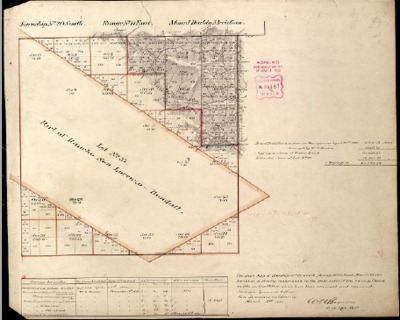
T13S, R2E, BLM Plat_321083_1 - Nov. 21, 1883, Lots 1 & & added as Swamp Land totally 1,599.42 Acres Survey
A Nov. 21, 1883, survey or plat reflecting the Township, Range and Sections of T13S, R2E, located in Monterey County, California, USA
-

T13S, R3E, BLM Plat_321221_1 - July 19, 1867 Survey
A July 19, 1867, survey or plat reflecting the Township, Range and Sections of T13S, R3E, located in Monterey County, California, USA
-

T13S, R4E, BLM Plat_320711_1 - Apr. 24, 1867 Survey
A Apr. 24, 1867, survey or plat reflecting the Township, Range and Sections of T13S, R4E, located in Monterey County, California, USA
-

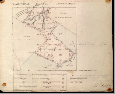
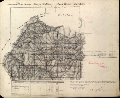
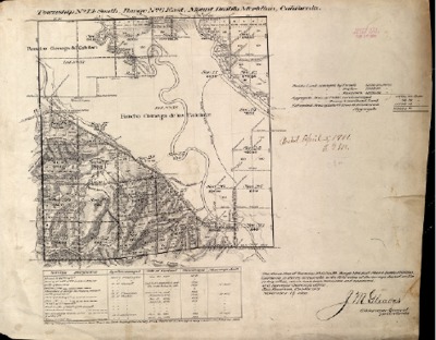
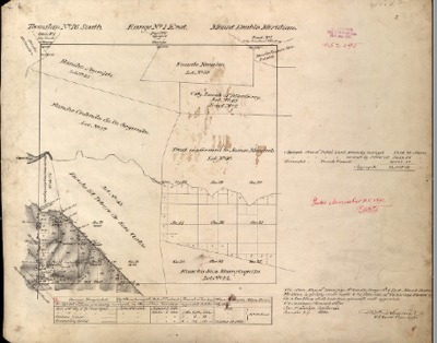
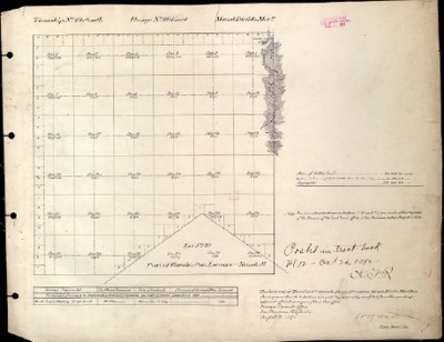
T14S, R2E, BLM Plat_321087_1 - May 1, 1868 Survey
A May 1, 1868, survey or plat reflecting the Township, Range and Sections of T14S, R2E, located in Monterey County, California, USA
-

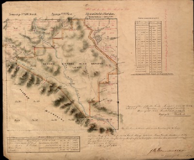
T14S, R4E, BLM Plat_320713_1 - May 22, 1884 Survey
A May 22, 1884, survey or plat reflecting the Township, Range and Sections of T14S, R4E, located in Monterey County, California, USA
-

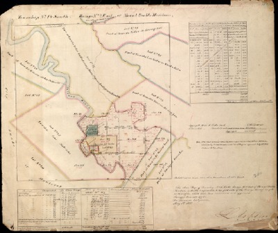
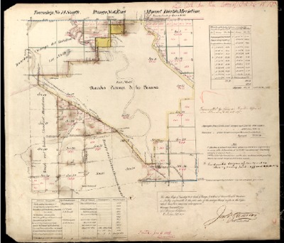
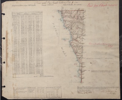
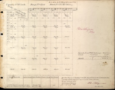
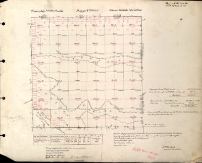
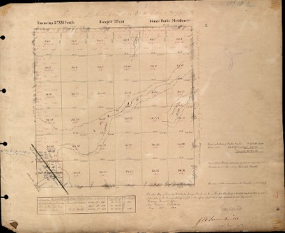
T14S, R5E, BLM Plat_320824_1 - Feb. 24, 1875 Survey
Survey of Monterey County Township and Range prepared by the Office of the Surveyor General
-

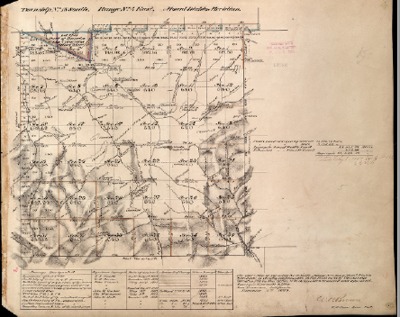
T14S, R5E, BLM Plat_320826_1 - Aug. 4, 1880 Survey
A Aug. 4, 1880, survey or plat reflecting the Township, Range and Sections of T14S, R5E, located in Monterey County, California, USA
-

T14S, R5E, BLM Plat_320828_1 - May 22, 1884 Survey
A May 22, 1884, survey or plat reflecting the Township, Range and Sections of T14S, R5E, located in Monterey County, California, USA
-

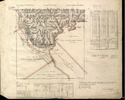
T14S, R6E, BLM Plat_319817_1 - May 4, 1860, became Part of San Benito County Survey
A May 4, 1860, survey or plat reflecting the Township, Range and Sections of T14S, R6E, located in Monterey County, California, USA
-

T14S, R6E, BLM Plat_319821_1 - Oct. 26, 1875, became Part of San Benito County Survey
A Oct. 26, 1875, survey or plat reflecting the Township, Range and Sections of T14S, R6E, located in Monterey County, California, USA
-

T14S, R6E, BLM Plat_319825_1 - Feb. 28, 1883, Amendment Returning Lot 4 of Sec. 17 & fractional E 1/2 of N.E. to Sec. 20 as Swamp & Overflowed Land Survey
A Feb. 28, 1883, survey or plat reflecting the Township, Range and Sections of T14S, R6E, located in Monterey County, California, USA
-

T14S, R6E, BLM Plat_319827_1 - May 22, 1884 Survey
A May 22, 1884, survey or plat reflecting the Township, Range and Sections of T14S, R6E, located in Monterey County, California, USA
-

T14S, R6E, BLM Plat_319829_1 - Nov. 19, 1900 Survey
A Nov. 19, 1900, survey or plat reflecting the Township, Range and Sections of T14S, R6E, located in Monterey County, California, USA
-

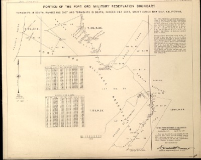
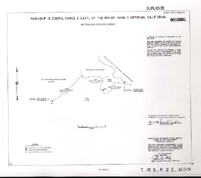
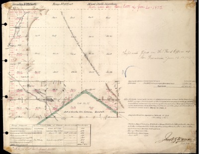
T15S, R2&3E, T14S, R1&2E, BLM Plat_315537_1 - Apr. 17, 1961, Portion of Fort Ord Military Reservation Boundary Survey
A Apr. 17, 1961, survey or plat reflecting the Township, Range and Sections of T15S, R2&3E, T14S, R1&2E, located in Monterey County, California, USA
-

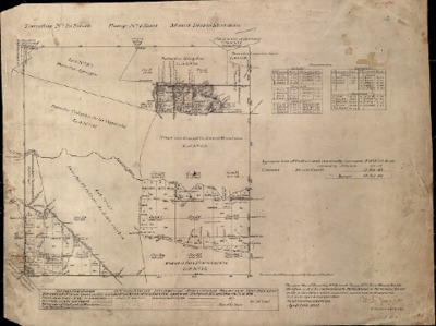
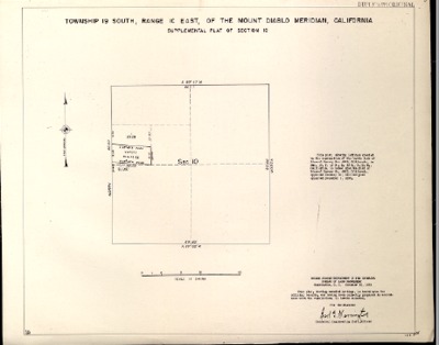
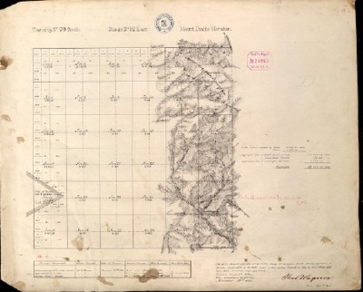
T15S, R2E, BLM Plat_321089_1 - Aug. 27, 1874 Survey
A Aug. 27, 1874, survey or plat reflecting the Township, Range and Sections of T15S, R2E, located in Monterey County, California, USA
Printing is not supported at the primary Gallery Thumbnail page. Please first navigate to a specific Image before printing.