

Printing is not supported at the primary Gallery Thumbnail page. Please first navigate to a specific Image before printing.
-

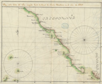
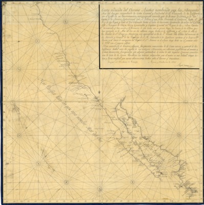
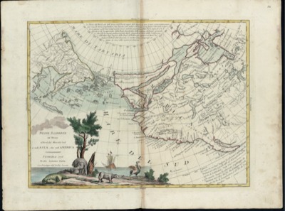
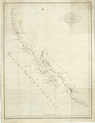
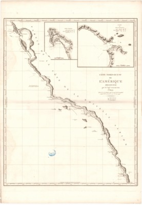
1828 - Cote Nord-Quest de L'Amérique Reconnue par le Cap. Vancouver
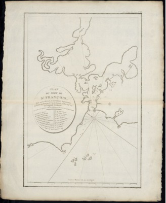
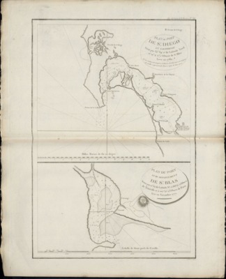
Map published in France in 1828 depicting the West Coast from Bodega Bay, California, to El Rosario, Baja California as described by Captain George Vancouver of the British Royal Navy during his exploration of this region in 1793. The map shows vessels' tracks and depths by soundings. The two inset maps of Port of San Diego and entrance to the Port of San Francisco show relief by hachures; depths by soundings.