

-

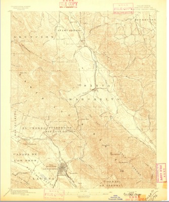
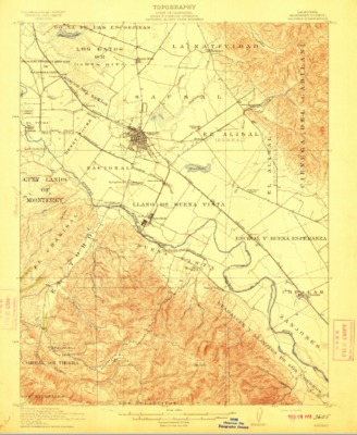
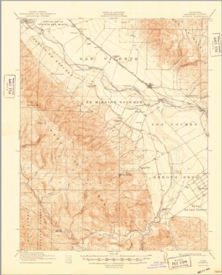
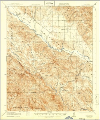
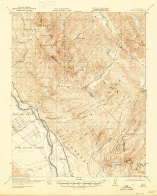
1920 - Jamesburg Quadrangle Topographical Survey, Monterey County - USGS
1919 U.S. Geological topographical survey depicting the Jamesburg Quadrangle, Monterey County, California, reflecting landmarks, Salinas River, creeks, ranchos, railways and roads.
-

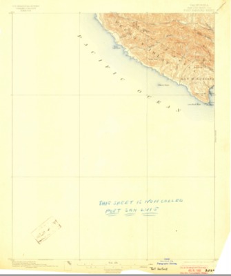
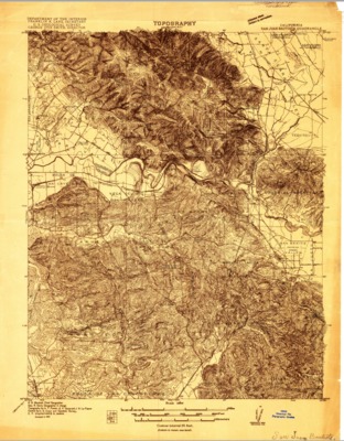
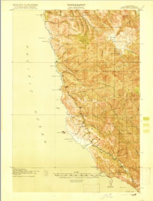
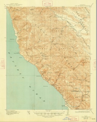
1921 - Cape San Martin Quadrangle Topographical Survey, Monterey and San Luis Obispo Counties - USGS
1921 U.S. Geological topographical survey depicting the San Martin Quadrangle, Monterey and San Luis Obispo counties, California, reflecting landmarks, creeks, ranchos, railways and roads.
-

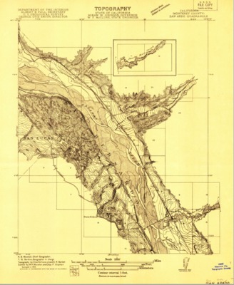
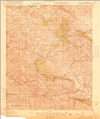
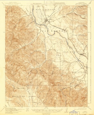
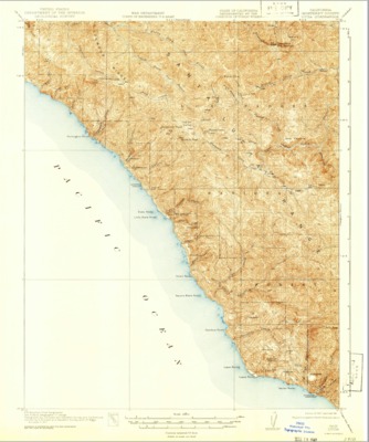
1921 - Lucia Quadrangle Topographical Survey, Monterey County - USGS
1921 U.S. Geological topographical survey depicting the Lucia Quadrangle, Monterey County, California, reflecting landmarks, Salinas River, creeks, ranchos, railways and roads.
-

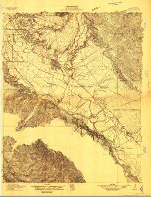
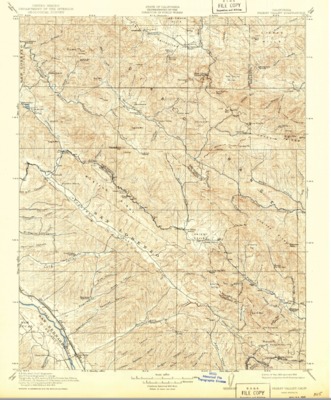
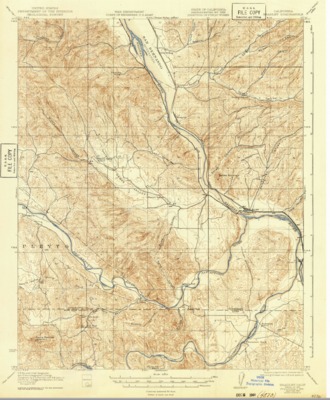
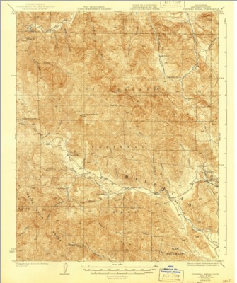
1921 - Metz Quadrangle Topographical Survey, Monterey and San Benito Counties - USGS
1921 U.S. Geological topographical survey depicting the Metz Quadrangle, Monterey and San Benito counties, California, reflecting landmarks, Salinas River, creeks, ranchos, railways and roads.
-
![1932 – Digitization of Rutillus Harrison Allen’s 1932 “Map of Types of Farming in Monterey County” [Draft]](https://digitalcommons.csumb.edu/hornbeck_cgb_4/1017/thumbnail.jpg "1932 – Digitization of Rutillus Harrison Allen’s 1932 “Map of Types of Farming in Monterey County” [Draft]")
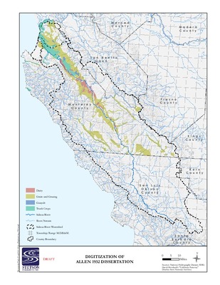
1932 – Digitization of Rutillus Harrison Allen’s 1932 “Map of Types of Farming in Monterey County” [Draft]
A 2017 digitization of Rutillus Harrison Allen’s 1932 “Map of Types of Farming in Monterey County” from his dissertation entitled, “Economic History of Agriculture in Monterey County During the American Period.”
-
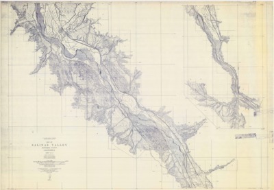
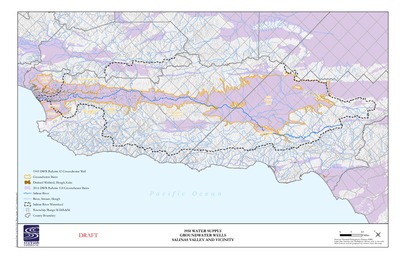
![1950 - Digitization of 1949 DWR Bulletin 52 – Groundwater Wells in Salinas Valley and Vicinity [Draft]](https://digitalcommons.csumb.edu/hornbeck_cgb_4/1013/thumbnail.jpg "1950 - Digitization of 1949 DWR Bulletin 52 – Groundwater Wells in Salinas Valley and Vicinity [Draft]")
1950 - Digitization of 1949 DWR Bulletin 52 – Groundwater Wells in Salinas Valley and Vicinity [Draft]
A 2017 digital representation of groundwater wells in the Salinas Valley and surrounding area as depicted on 1949 maps found in the California Department of Public Works, Division of Water Resources, Bulletin No. 52-A, Salinas Basin Investigation, Basic Data, 1949.
-

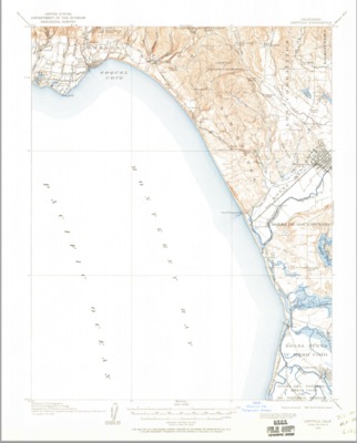
1954 - Moss Landing Quadrangle Topographical Survey, Monterey County - USGS
1954 U.S. Geological topographical survey depicting the Moss Landing Quadrangle, Monterey County, California, reflecting landmarks, creeks, ranchos, railways and roads.
-

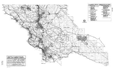
1996 San Luis Obispo County Map - Township and Range
A map of San Luis Obispo County, California, prepared by the Department of Planning and Building, showing township and range, as well as depicting Planning Area Boundary, Coastal Zone Boundary, Urban Reserve Area or Village Reserve Area and County Supervisors District Boundary and District Number.
-

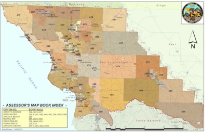
2015 - San Luis Obispo Assessor's Map Book Index
Map depicting the San Luis Obispo County, California, Assessor's map book number designations.
-

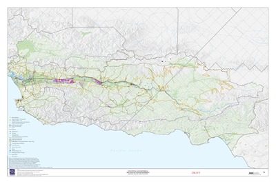
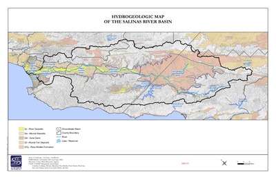
2016 Hydrogeologic Map of the Salinas River Basin
The draft 2016 map prepared by Stetson Engineers, Inc. of the Salinas Valley River Basin depicting river deposits, alluvial deposits, dune sand, alluvial van deposits, Paso Robles Formation, the groundwater basin, county boundary between Monterey and San Luis Obispo counties, the Salinas River as well as lakes and reservoirs.
-

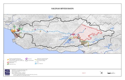
2016 Salinas River Basin Map
A draft 2016 map prepared by Stetson Engineers Inc. that depicts the Salinas Valley River Basin located in Monterey and San Luis Obispo counties, California
Printing is not supported at the primary Gallery Thumbnail page. Please first navigate to a specific Image before printing.